THINKING: research
River Maps
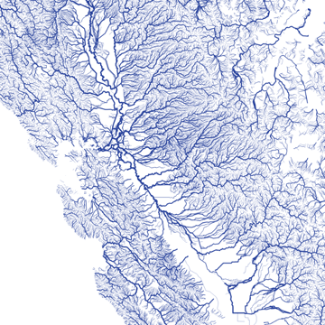
These incredible maps display river systems throughout the US, and I find them absolutely mesmerizing… as a comment on another site mentioned it’s like looking at the country’s circulation system. The first link takes you to the image collection on flickr, but I’ve also included a link to Nelson Minar’s github source site that gives you all the tools to make your own vector maps using GIS data.